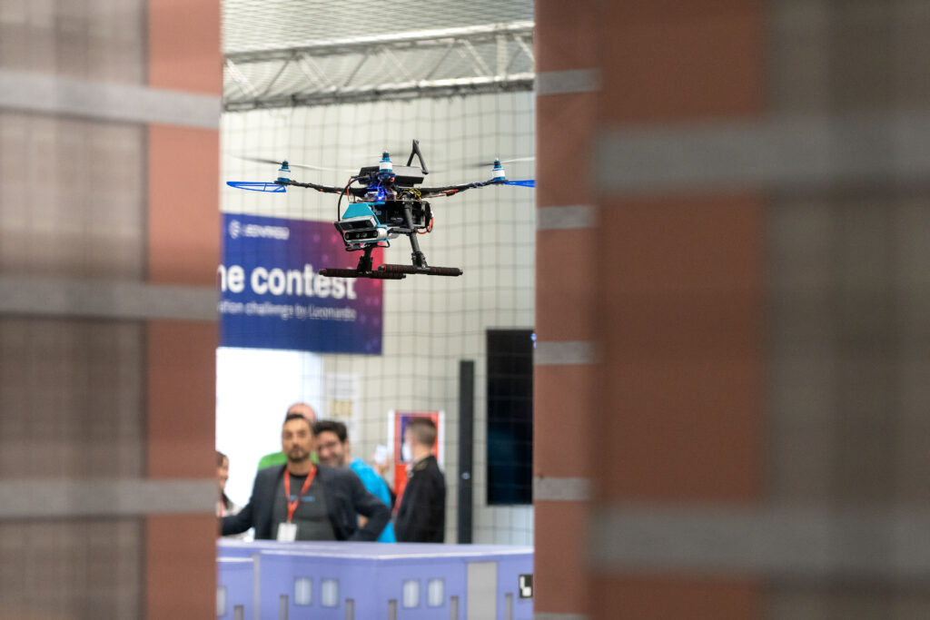
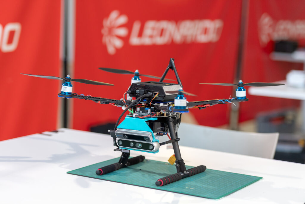
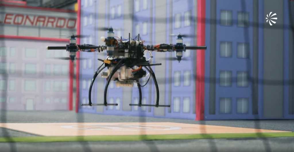
This latest evolution of our autonomous drone lineup is designed for the Leonardo Drone Contest 2022, third edition. The drone will operate autonomously in an urban environment, handling various tasks without human intervention. All computing tasks will be performed on board, ensuring complete autonomy.
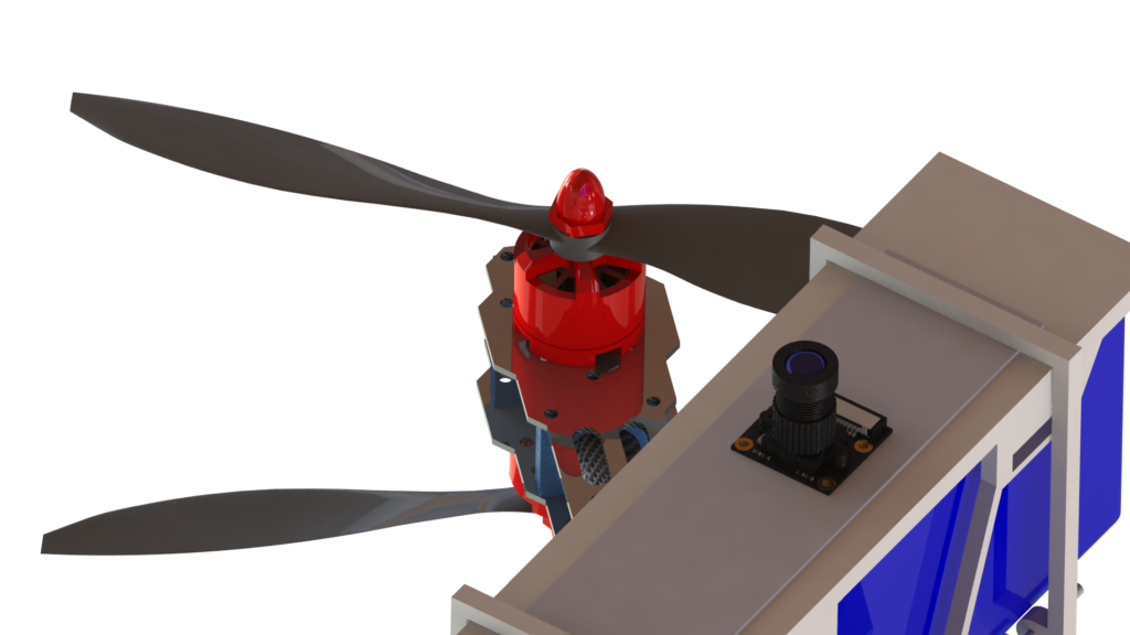
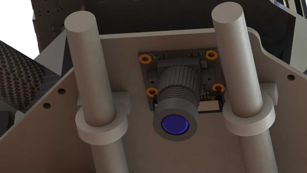
To achieve mission objectives, the drone employs a sophisticated software suite developed by our team, enabling SLAM (Simultaneous Localization and Mapping), attitude determination, and computer vision for environmental perception. It relies solely on cameras and proximity sensors for orientation, as LIDAR and GPS are not permitted.


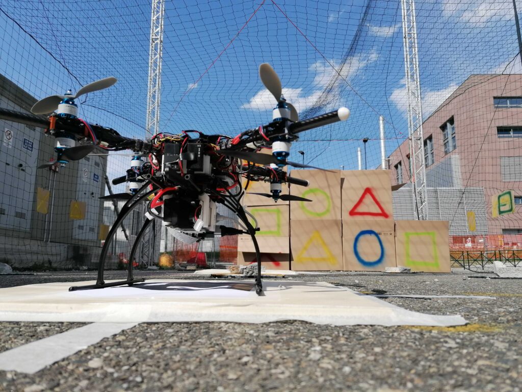
We designed and built an autonomous drone to participate in the Leonardo Drone Contest 2021. The drone navigated a known urban environment, searching for terrestrial bots and reading Aruco codes to locate landing pads. It flew towards these pads, avoided obstacles, and landed autonomously without human control, using a low-power, high-performance onboard computer.
To achieve its mission, the drone used SLAM (Simultaneous Localization and Mapping) to determine its state, including position, attitude, and speed. Computer vision and machine learning identified terrestrial bots and landing pads, while obstacle avoidance and motion planning algorithms defined its trajectory. The drone oriented itself using only cameras and proximity sensors, as LIDAR and GPS were not allowed.

Our first autonomous drone was designed for the Leonardo Drone Contest 2020 to map an unknown urban area, locate landing pads in sequence, navigate toward them avoiding obstacles, and land autonomously without human control. All computing was performed on board with a low power, high-performance computer.
The drone used SLAM for mapping and state determination, computer vision and machine learning for identifying landing pads, and obstacle avoidance and motion planning for trajectory planning. It relied on cameras and proximity sensors, with no LIDAR or GPS allowed.